Planning Area Library
Released 12/9/24
Planning Area Library

The new Planning Area Library feature in the platform allows you to generate planning areas and Distinct Management Areas (DiMAs) by browsing a library of pre-loaded, commonly used area boundaries, as well as pre-built polygons designed by you and your partners. Planning area development is a crucial step in creating realistic project scenarios. This new feature allows users to more easily build realistic planning areas to better utilize the Vibrant Planet platform. 
Select a Planning Area
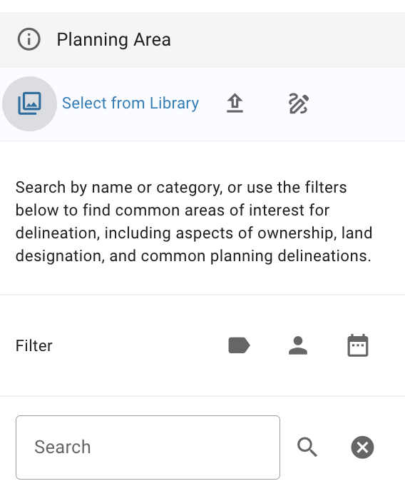
Using the Planning Area Filter you can access common boundaries such as ownership, wilderness designation, recent fire perimeters, and many more using quick filtering and search functions. You and your partners can also access any shapefile you have previously loaded into the platform or created in the platform and saved to the library.
Search and Filter Planning Areas
Using the Planning Area Filter you can access a library of polygons searchable by name and filterable by tag, uploader’s name, and date. Vibrant Planet has processed and pre-loaded the following datasets for use as planning areas or DiMAs:

- US National Forests, Ranger Districts (source: US Forest Service)
- HUC8s (source: US Geological Survey)
- Land Designation (source: US Geological Survey)
- Counties (source: US Census Bureau)
- PODs (source: National Interagency Fire Center)
- Recent Fire Perimeters (wildfires and prescribed fires) (source: Vibrant Planet via multiple data sources)
Save a Project as a Planning Area to the Library
After running a scenario, you have the option to save Vibrant Planet generated project polygons to the library to be used as a planning area or DiMA in future scenarios.
Save an Uploaded Shapefile or Drawn Planning Area to the Library
When you upload a shapefile or draw a shape on the map as a planning area or DiMA you can now save it to the Planning Area Library for use by all partners in the collaborative. There is also an option to add categories to the planning area library for easier organization of the shapefiles you upload or polygons you draw and save to the library.
.png?width=800&height=147&name=VP_Logo_Horiz_Color_RGB%20(4).png)